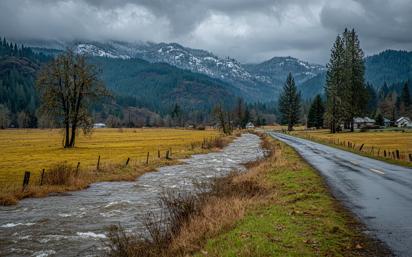
Most people look up their flood risk once, when they buy a house, and then forget about it until the river comes up. Around Everett, where the Snohomish River and its delta sit right next to the city, that map is worth understanding. It decides whether a lender requires flood insurance, it shapes building rules for low ground, and it gives a rough picture of where water goes in a big flood. It also has limits, and knowing them matters as much as knowing the map.
Where the Maps Come From
FEMA publishes flood maps, called Flood Insurance Rate Maps, for communities that take part in the National Flood Insurance Program. Snohomish County has been part of that program since 1984. Anyone can look up an address on FEMA's Flood Map Service Center and see which flood zone it's in. The county and cities also publish flood information for their areas.
Reading the Zones
| Zone | What it generally means |
|---|---|
| A or AE | A high-risk area, with about a 1% chance of flooding in any given year (often called the 100-year floodplain). AE zones show an expected flood elevation. |
| X (shaded) | A moderate-risk band, with roughly a 0.2% to 1% chance each year |
| X (unshaded) | Lower risk, outside the mapped flood areas |
| Floodway | The channel and nearby land that carry the deepest, fastest water; building is tightly restricted |
A 1% annual chance sounds small, but over a 30-year mortgage it adds up to roughly a one-in-four chance of at least one such flood.
Why Elevation Matters
The map shows the zone. Elevation shows how a particular house sits relative to the expected flood level. Two houses in the same zone can face very different risks if one sits a few feet higher. An Elevation Certificate, prepared by a surveyor or engineer, records a building's elevation compared with the base flood elevation, and it's used for flood insurance pricing and building permits.
Within a house, elevation matters too. Garages, basements and crawlspaces sit lowest, so they take water first in a flood and from ground water afterward.
What the Maps Don't Show
- Ground water. A house outside the floodplain can still get a wet basement when the water table rises in winter.
- Street flooding. Heavy rain can overwhelm storm drains and send water toward low doors far from any river.
- Dike failures. Areas behind dikes may be mapped at lower risk, but a breach can change that quickly.
- Changes over time. Maps get updated, and building and land use change how water moves.
Insurance Basics
Standard homeowners policies usually don't cover flood. Flood insurance is separate, sold through the National Flood Insurance Program and some private insurers, and it often has a waiting period before it takes effect. You don't have to be in a high-risk zone to buy it, and many flood claims come from outside mapped high-risk areas. Details vary, so check with an agent.
Looking Up Your Address
- Go to FEMA's Flood Map Service Center and enter your address.
- Note the zone and, if shown, the base flood elevation.
- Look at nearby zones; a house just outside the line is still close to it.
- Check the county's flood information for local history and warnings.
- Ask whether an Elevation Certificate already exists for your house; previous owners or the county may have one.
For Landlords and Buyers
If you own rentals near the river or are buying a house on low ground, the flood zone affects more than insurance. It can affect what you're allowed to build or change, what a lender requires, and what a tenant needs to know. Washington sellers fill out a disclosure form that asks about flooding and flood zones, so ask for it and read it. For a rental on low ground, consider what happens to tenants and their belongings in a flood, and keep the warning information handy.
Questions
My house isn't in a flood zone. Can it still flood?
Yes. Ground water, street flooding and unusual storms affect houses outside mapped zones too.
Does flood insurance cover a basement?
Flood policies cover basements only in limited ways, often just certain equipment and structural parts, not finished space or most contents. Read the policy carefully.
Who do I call after a flood?
Your insurer to report it, and a restoration company to get the water and silt out and start drying once it's safe.
Around Everett
Mapped flood areas cluster along the river near Lowell, Snohomish and Monroe. Floodwater cleanup is covered on water removal and cleanup.
The Snohomish River, the Delta and the Dikes
How the river floods, where the dikes are, and what that means for nearby houses.
Basements and the Water Table in the North End
Why basements leak in long wet spells and not single storms.